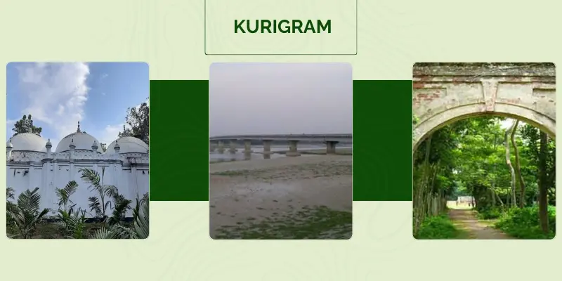
Kurigram
Total Views : 391 | Published Date : April 16, 2025Geography:
Kurigram District is a district of Bangladesh in the Rangpur Division. The district is located in northern Bangladesh along the country's border with India. Under British rule, the area was organized as a Mahakuma and was not established as a district until 1984. The name "Kurigram" is derived from the words 'Kuri' and 'Gram'. Kuri means "twenty" and Gram means "village". The district is bordered by Jamalpur district of Mymensingh division to the south, Gaibandha, Rangpur and Lalmonirhat districts as well as West Bengal state of India to the west, and the Indian states of Assam and Meghalaya to the east. In total, the district has 278.28 kilometers of international border with India.
Economy:
Agriculture 70.41%, non-agricultural labourer 4.74%, industry 0.51%, commerce 9.45%, transport and communication 2.02%, service 4.98%, construction 0.77%, religious service 0.15%, rent and remittance 0.21% and others 6.76%.
Folk Culture:
The distinctive folk culture of the district include Bhawaiya song, Palli geeti, Murshidi, Marfati, Baul song, marriage song, Chatka song, song of Bhanna Kushan, Goralir Panchali, Jari gan, rhymes, proverbs, folk tale, riddle, etc.
Places Must Visit:
Dharla Bridge, Behular Char, Ramna Ghat, Phulsagar, Naodanga Zamindar Bari, Bhitarbandh Zamindar Bari, Chakir Poshar Beel, Sindurmati Dighi, Sonahat Landport, North Bengal Museum, Mekurtari Shahi Mosque, Pangeshwari Temple, Bhetarbandh Royal Palace, Chilmari land port, Chandamari Mosque.
Categories
- Dhaka 13
- Chittagong 11
- Rajshahi 8
- Khulna 10
- Barishal 6
- Sylhet 4
- Rangpur 8
- Mymensingh 4
Featured Posts
