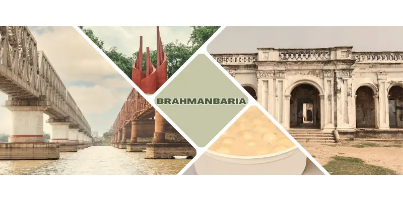
Brahmanbaria
Total Views : 303 | Published Date : April 09, 2025Geography:
Brahmanbaria is a district in eastern Bangladesh located in the Chittagong Division. Geographically, it is mostly farmland and is topographically part of the Gangetic Plain. It is bounded by the districts of Kishoreganj and Habiganj to the north, Narsingdi District and Narayanganj to the west, Comilla to the south, and the Indian state of Tripura to the east. It was a part of Comilla District until 15 February 1984.
Economy:
Brahmanbaria is one of the fastest growing districts in the country. The major industries of Brahmanbaria District have been agriculture, fishing, power and electricity, and natural gas. 30% of its population is below the poverty threshold. It has a labour force of 1,800,000 that are skilled in agricultural, industrial, and service sectors.
Must Visit Places:
Titas Gas Field, Kharampur Mazar Sharif, Haripur Barabari.
Archeological Sites:
Arphail Sagardighi Mosque and Twin Graves (sixteenth century, Sarail), Arphannesa Mosque (1662, Sarail), Bhadurghar Shahi Mosque (1084 AH), Ulchapara Mosque (sixteenth century), tomb of Kalla Shahid (R, Akhaura), Kalbhairab Mandir (Brahmanbaria), Sree Sree Anandamoye Ashram (seventeenth century) at Kasba, Satidaha Mandir (Biddakut), Shiva Mandir (Natghar), Sarvadharma Samanya Mandir (Kalikachha), Jagannath Mandir (Nasirnagar), Bishnu Statue (Baghaura), buddhist viharas (Devgram), Kailaghar Jangal (Kasba), Hatir Pool (elephant bridge) at Baraiura, Zamindar Bari of Haripur, Basudeva Statue (Kalikachha), Nabinagar Math, Haraspur Zamindar Bari, Brahmanbaria Archives and Museum, Anderson Memorial (Kautali).
Categories
- Dhaka 13
- Chittagong 11
- Rajshahi 8
- Khulna 10
- Barishal 6
- Sylhet 4
- Rangpur 8
- Mymensingh 4
Featured Posts
