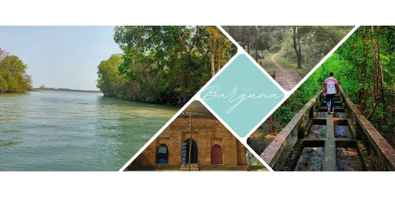
Barguna
Total Views : 353 | Published Date : April 13, 2025Geography:
Barguna District is a district in the division of Barisal, in southern Bangladesh. Barguna subdivision was established in 1969 and promoted to a district on 28 February 1984. It is bounded on the north by the districts of Jhalkathi, Barisal, Pirojpur and Patuakhali. In the east, it borders the Patuakhali district. On the south, Barguna is bounded by the Patuakhali district, and the Bay of Bengal. On the western side, it borders Pirojpur and Bagerhat districts.
Economy:
Barguna's economy is primarily dependent on agriculture. Principal crops include rice and pulses. Jute cultivation was once important, but it gradually lost popularity as a cash crop. Being a coastal district, Barguna has a thriving fishing industry. Barguna produces betel leaf, pulses, bananas, betel nut, molasses, marine fish, and shrimp. Total area of agricultural land is 104,231 hectares. There is no major industry in this district. A number of small manufacturing industries comprise mostly rice mills, saw-mill, soap factory, flour mill, ice factory and pen factory. There are 25 food processing industries, 10 chemical industries, 10 textile home-craft industries in this district. Traditional cottage industries such as weaving, bamboo and cane artwork, goldsmithing, blacksmithing, pottery, wood work, and tailoring also thrive in rural areas.
Folk Culture:
Jarigan, Sarigan, Kabigan, Kirtan, Hoila, Folktale and Folk drama are notable.
Places Must Visit:
Bibichini Shahi Mosque, Buddhist temple, Buddhist temple and Buddhist Academy, Horin Ghata Eco Park, Ashar Char, Bihanga Island.
Categories
- Dhaka 13
- Chittagong 11
- Rajshahi 8
- Khulna 10
- Barishal 6
- Sylhet 4
- Rangpur 8
- Mymensingh 4
Featured Posts
